
USA Preparing for Winter Storms Next Week

It’s the dead of winter, but apparently Old Man Winter didn’t get the memo until the middle of January. Harsh winter weather and widespread, heavy snowfalls have largely been absent from the lower 48 states in recent weeks, but that drought is about to end in dramatic fashion.
A duo of storms, with the second one expected to be much stronger and larger, will deal wintry blows to portions of the Midwest and Northeast this weekend and early next week.
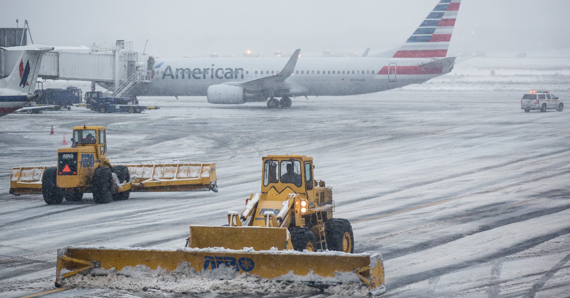
Both storms are likely to produce substantial delays on the highways and lead to airline delays and flight cancellations even if some of the major hubs in the Midwest and Northeast manage to dodge wintry precipitation from one or both systems.
For part of the North Central states, a one-two punch is possible with snow or a wintry mix potentially overlapping from both storms in parts of Nebraska, Iowa and the northern parts of Illinois, Indiana and Ohio. Southern parts of Wisconsin and Michigan could also get walloped by back-to-back episodes of winter weather.
The first storm is forecast to produce a large swath of 1-3 inches of snow from parts of the northern Plains to the Midwest during this weekend.

Within this light snow area will be a patch of moderate to locally heavy snow with accumulations of 3-6 inches and an AccuWeather StormMax™ of 10 inches.
Snow could begin on Saturday afternoon in Minneapolis, and before it tapers off by late Saturday night, the city may be under a blanket of 3 to 6 inches of snow.
Chicago residents could wake up to snow falling on Sunday morning — after it begins late Saturday night. When all is said and done, the Windy City may be coated by an inch or so of snow from the storm.

From 3 to 6 inches of snow is forecast to fall on Green Bay, Wisconsin, Saturday night into the midday hours on Sunday. Snow is expected to taper off prior to the NFC Championship Game between the Buccaneers and the Packers on Sunday, but crews may be busy removing snow from the field, sidelines and stands ahead of the game.
Snowfall is forecast to diminish as the system approaches the eastern part of the Great Lakes region and the central Appalachians late Sunday and Sunday night. However, a bigger storm will already be starting to cause trouble over parts of the Plains by that time.
A storm for the first part of next week is on track to produce snow, ice and a wintry mix along an approximately 1,500-mile-long zone from parts of Kansas to eastern New York state and southern New England.

Travel woes could be felt across many areas of the country due to the extensive wintry precipitation predicted. Travel along I-25 in the Rockies and along the I-95 corridor in the East as well as along I-70 and I-80 in the Central and Eastern states is likely to become tricky — and motorists may face downright dangerous conditions on the roads over long stretches of highway.
Across areas farther south, mostly rain will fall. Even though visibility may drop in the heaviest rain and lead to hazardous travel at times, travel concerns are likely to be much less widespread.
The track of the second storm — which is expected to be both stronger and larger than the first — is not set in stone at this time. Which areas of the Central and Northeastern states get hit the hardest will depend on the northward versus southward extent of the storm’s long west to east swath of snow and ice.

It’s possible that the storm will trek farther to the north across the nation and move eastward from Kansas to Pennsylvania. A swath of significant snow on the order of 1-6 inches could fall from Nebraska to northern Pennsylvania, New York state and southern New England if the storm takes this more northern route.
If the storm dips a bit farther to the south instead and travels eastward from Oklahoma to Virginia, then snow and a variety of other types of wintry precipitation, including sleet and freezing rain, would aim for areas from Kansas to southern Pennsylvania, Maryland, northern Virginia, Delaware and southern New Jersey. The latter scenario could put places like Philadelphia and Washington, D.C., on alert.
Should the storm track somewhere in between those two scenarios, then the bulk of snow and ice could also shift around, according to AccuWeather Senior Meteorologist Courtney Travis.

A narrow swath or pockets of heavier snow, on the order of 6-12 inches, will occur where all or mostly snow falls. There is the risk of a small amount of freezing rain and/or sleet with the storm. Both can make for dangerous driving and walking conditions although a glaze of freezing rain can be especially treacherous for travel and power outage concerns.
Just as there could be pockets of heavier snowfall, there is the risk of locally moderate to heavy amounts of ice in parts of the Midwest and central Appalachians.
AccuWeather meteorologists are also monitoring the potential for a secondary storm to form along the mid-Atlantic coast at the last minute on Tuesday. If that storm develops, it is likely it would trap a wedge of cold air across the central Appalachians and along the mid-Atlantic coast.

Temperatures could be suppressed below freezing in the corridor from Washington, D.C., to Philadelphia and New York City, with the potential for the storm to bring all or mostly snow and/or ice.
The Twin Cities were smacked by heavy snowfall earlier this season, but amounts have been falling short of normal since December 1. Minneapolis already eclipsed last season’s snowfall with 33.9 inches, compared to the 33.2 inches that fell during all of last winter.
Chicago and Indianapolis have received only about 50% of their normal snowfall for the season to date as of January 21. Chicago has picked up 8.6 inches, and Indianapolis has picked up 5.4 inches so far. One or both of these cities could trend close to their average snowfall to date in the wake of the winter storms into early next week.

Farther to the east, New York City, Boston and Philadelphia have experienced close to their average seasonal snowfall amounts to date, with 10.5, 17.5 and 6.6 inches respectively. Pittsburgh has picked up nearly double its normal snowfall to date with 34.6 inches.
However, not all of the East has received a boon of snowfall this season. Washington, D.C., is in the midst of a snowfall drought, much like the area had last winter. Less than 0.1 of an inch of snow has fallen in the nation’s capital so far this year. Normally, the city picks up an average of 6.1 inches to date.
Accu Weather.com / Crickey Conservation Society 2021.

Winter in America is Cold
LikeLike
Very Cold and same weather is moving to Europe now?
LikeLike
Man must not want to intervene with nature, because the human kind has never won during its so-called legacy?
LikeLiked by 1 person
Nature will always bounce back, but do We?
LikeLike